
A tethered line connects the ground and the air, yet it rarely stays in an ideal vertical straight line. Wind, aircraft offset and cable self-weight all change its shape. Understanding this spatial curve is the basis for planning observation coverage, lighting positions and on-site safety distances.
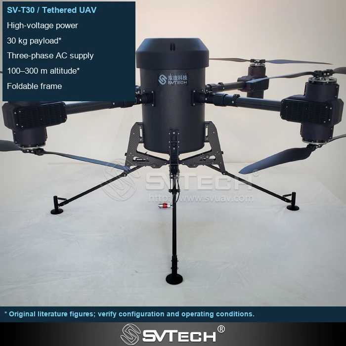
Line length must be allocated to the real path
The cable must pass through ground routing, the reel, guides and the airborne connection, and there may also be lateral offset and sag. Therefore total length does not equal vertical clear height, and the line length specification is not a flight approval height.
Part of the cable is used for horizontal offset and bending, and ground routing also consumes length. As altitude increases, self-weight and wind-facing area increase, which in turn affects platform position. Describing the mission space with only a maximum line length ignores these couplings. A more intuitive approach is to plot the ground station, target area and allowable offset together on a site map.
For a building facade project, if obstacle-avoidance and safe landing paths must be reserved, the actual usable height will be affected by the ground station position. When flying diagonally to a distant point, the amount of line that must be paid out increases even if the height stays the same.
Technical Principles and Engineering Boundaries
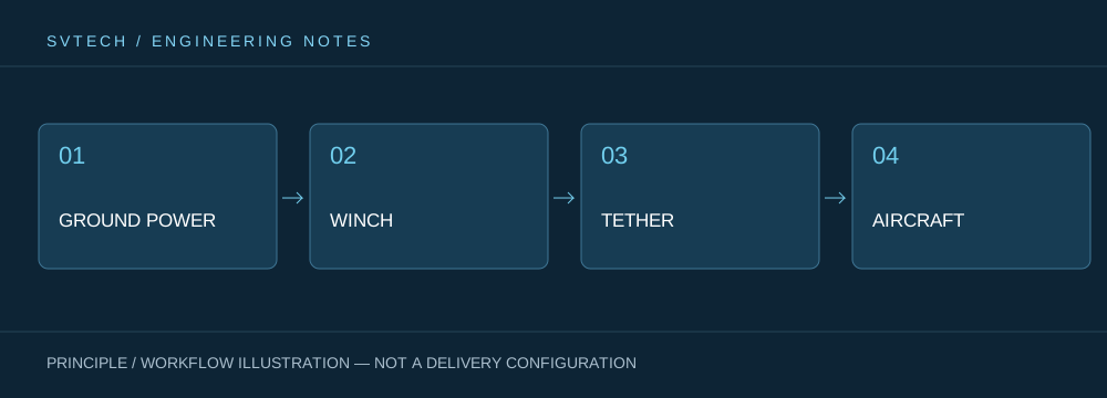
A tethered drone links ground power, the deploy/retract mechanism, cable, flight platform and mission payload into one continuous system. When designing around "The Spatial Geometry of a Tethered Line: What Distances Beyond Operating Height Matter," power efficiency, cable weight, tension variation, payload heat dissipation and flight control all affect one another. The system cannot be described by maximum endurance alone; whether it can maintain stable service at a specified altitude, wind condition, payload power and personnel rotation is the more practically meaningful capability of a continuously powered drone.
Application Scenarios and Implementation Paths
Persistent observation, temporary communication relay, nighttime emergency lighting and security for specific areas are all missions a tethered platform may serve. Together they require the aerial position to be available over the long term, and they each place different demands on imagery, link, illumination or deployment speed. Incorporating mission objectives, ground power, operating area, weather window and exit path into the plan can turn a tethered drone system from a demo device into an on-site service that can be organized.
Project Validation and Continuous Optimization
To make this technical discussion on "The Spatial Geometry of a Tethered Line: What Distances Beyond Operating Height Matter" land in real projects, the verification stage should record the configuration version, environmental conditions, measurement positions and mission results together. Use site plans and cross-section drawings to calculate the path, and retain guidance and recovery margins; confirm the system-permitted altitude and local operating conditions. Do not schedule routine missions at positions tensioned to the limit. This information is not supplementary documentation, but the shared basis for explaining results, reproducing performance and continuous optimization.
Related Support from SVTECH
SVTECH provides product documentation, project requirement communication and configuration boundary verification for tethered drones and related industry applications. For topics such as "The Spatial Geometry of a Tethered Line: What Distances Beyond Operating Height Matter," you can describe the mission conditions, target outcomes, site environment and existing equipment together, and Mr. Liu (+86 18688194199, lhc1983@gmail.com) will assist with coordination; specific models, performance and delivery scope are subject to confirmed documentation and project verification.
When surveying the site, record the horizontal distance from the ground station to the takeoff point, the obstacle-avoidance path and the necessary margin. The cable bends in the wind, so not all of its length is used for vertical height. In procurement communication, it is advisable to list the total cable length, allowable payout length and target operating height separately, and then have the equipment supplier confirm the achievable range based on the specific layout.
Usable height comes from the complete deployment conditions. Treating the cable as a connection with weight and shape allows a more accurate judgment of what kind of tether mission a site is suitable for.
