
Wind changes not only ground speed but also the time and energy a drone needs to complete its route. An easy outbound leg does not mean the return leg will be equally easy, especially on longer missions, where one-way performance can mask the demands of the full cycle. Route design needs to treat the wind field as a condition that varies along the way.
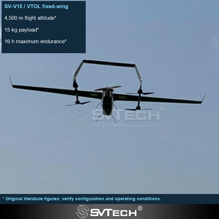
Outbound and return legs belong in the same budget
Wind changes ground speed and energy consumption, and can also affect image quality. Data from a one-way downwind mission cannot represent a complete round trip, and conditions may also change during the mission.
Headwinds, crosswinds and local turbulence affect different aircraft differently. During planning, discuss mission direction together with alternate landing sites, and leave room to adjust when conditions change. Actual flight records also help reveal differences between forecasts and conditions on site, so energy estimates can be corrected for later missions rather than relying permanently on a single experience.
For long-distance operations, the operating team should assess conditions along the route and identify alternate recovery points. A planning software indicating the mission is feasible does not mean all on-site wind and obstacle factors have been covered.
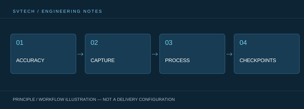
Technical principles and engineering boundaries
The capability of an industrial UAV is formed jointly by the flight platform, propulsion, sensing payload, communications and data workflow. The phenomena discussed in "Outbound Downwind, Inbound Upwind: Wind and Energy in UAV Flight Routes" often occur where these elements meet: a platform flying steadily does not guarantee deliverable data, and an algorithm able to recognize targets does not mean the mission can run without human oversight. Only by placing performance back into the full mission chain can one distinguish a demonstration, repeatable validation and long-term operation.
Application scenarios and implementation paths
UAV inspection, 3D modeling, emergency response and asset management are all driving the low-altitude economy into industrial settings. Different applications require different flight paths, data quality, on-site coordination and compliance preparation. If the target objects, output formats, operating frequency, site constraints and exception handling are clarified early in a project, it becomes easier to select suitable platforms and payloads for industrial UAV applications and to establish a sustainable data collection process.
Project validation and continuous improvement
To ground this technical discussion of "Outbound Downwind, Inbound Upwind: Wind and Energy in UAV Flight Routes" in real projects, the validation phase should record configuration version, environmental conditions, measurement locations and mission results together. Use planning methods approved for the platform and retain energy margins; check real-time and forecast changes; write abort and contingency strategies into the operating plan rather than chasing maximum range on site. This information is not supplementary documentation but the shared basis for interpreting results, reproducing performance and continuously improving.
Related support from Zhuhai SV Tech Co. Ltd.
Zhuhai SV Tech Co. Ltd. provides product documentation, project requirement discussions and configuration boundary checks for industrial UAVs and related industry applications. For topics such as "Outbound Downwind, Inbound Upwind: Wind and Energy in UAV Flight Routes," describe the mission conditions, target outputs, site environment and existing equipment together; Mr. Liu (+86 18688194199, lhc1983@gmail.com) can help with coordination. Specific models, performance and delivery scope are subject to confirmed documentation and project validation.
A downwind outbound leg may make the return more energy-intensive, and terrain and altitude changes can further alter wind conditions. Route review should consider the complete round trip and available diversion arrangements. Actual boundaries are confirmed according to platform and project requirements; dividing a straight-line map distance by an ideal flight time must not be treated as a feasible operating radius.
An efficient route is not always the geometrically shortest line. Only by considering wind, mission actions and return requirements together does a route come closer to being truly executable.
