
Thermal imaging gives drones information beyond what visible light can reveal, with practical value in photovoltaic, electrical facility, and building inspection. But the colors in a thermal image do not directly equal a fault conclusion; measurement conditions and surface materials both affect interpretation. Truly useful thermal inspection requires combining images with on-site knowledge.
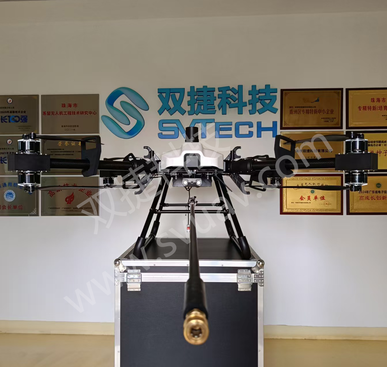
Temperature Information Needs Appropriate Interpretive Context
Measurement capability, lens field of view, measurement range, calibration, and environmental suitability all affect mission results. Thermal image color can enhance presentation but cannot replace correct measurement and interpretation.
Spatial resolution affects whether targets can be distinguished, while measurement capability and calibration status affect reading credibility. Viewing angle, reflections, and environmental changes also need consideration. For similar devices, differences can be observed under comparable conditions and then verified against operating status. Thermal images are better suited to helping locate positions worth inspecting than to completing all diagnostics on their own.
Two devices with the same pixel count may differ in their ability to observe small targets due to different lenses and distances. Reflections, surface properties, and viewing angle can also change readings.
Technical Principles and Engineering Limits
The capabilities of an industrial drone are shaped jointly by the flight platform, propulsion, sensing payload, communications, and data workflow. The phenomena addressed in "Giving Drones the Ability to See Temperature: Capabilities and Limits of Thermal Imaging Inspection" often occur at the interfaces between these elements: a platform that flies stably does not guarantee deliverable data, and an algorithm that can identify targets does not mean the mission can proceed without human supervision. Only by placing performance back into the complete mission chain can one distinguish between a demonstration, repeatable verification, and long-term operations.
Application Scenarios and Implementation Paths
Drone inspection, 3D modeling, emergency response, and asset management are all driving the low-altitude economy into industrial sites. Different applications require different flight paths, data quality, on-site coordination, and compliance preparation. If the target objects, deliverable formats, operating frequency, site constraints, and exception handling can be clarified early in a project, industrial drone applications become easier to match with suitable platforms and payloads and to establish a sustainable data collection process.
Project Verification and Continuous Improvement
To ground this technical discussion of "Giving Drones the Ability to See Temperature: Capabilities and Limits of Thermal Imaging Inspection" in real projects, the verification phase should record configuration versions, environmental conditions, measurement positions, and mission results together. Define objectives, distances, and output requirements; have professionals establish collection and analysis methods; verify installation, power, and data interfaces. Do not judge detection capability on promotional thermal images alone. This information is not supplementary documentation but the shared basis for interpreting results, reproducing performance, and continuous improvement.
Related Support from SV Tech
Zhuhai SV Tech Co. Ltd. provides product documentation, project requirement communication, and configuration boundary verification for industrial drones and related industry applications. For topics such as "Giving Drones the Ability to See Temperature: Capabilities and Limits of Thermal Imaging Inspection", mission conditions, target deliverables, on-site environment, and existing equipment can be described together, with Mr. Liu (+86 18688194199, lhc1983@gmail.com) assisting with coordination; specific models, performance, and delivery scope are subject to confirmed documentation and project verification.
Measurement range, calibration, lens, spatial resolution, and target environment should be verified, along with whether the final goal is qualitative observation or quantitative temperature measurement. Target surface properties affect interpretation. Procurement can use representative samples for verification to avoid selecting a payload based solely on resolution and later finding that required anomalies cannot be reliably identified.
Thermal imaging extends the sensing capabilities of drones. Only by establishing clear collection and review processes can this capability be reliably integrated into industry operations and maintenance.
