
Increasing flight speed on industrial drones shortens area coverage time, but it also makes image capture more demanding. When aircraft motion, camera exposure and structural vibration combine, fine detail can be blurred. In inspection and surveying, image sharpness directly affects downstream recognition and measurement, so it must be weighed alongside operational efficiency.
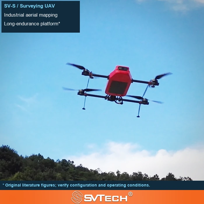
Image quality is determined jointly by motion and light
Motion blur is related to flight speed, exposure time, vibration and camera mounting, while focus and lens condition also affect sharpness. A high-megapixel camera cannot compensate for unsuitable capture conditions.
Shortening exposure helps reduce motion blur, but in low light it may increase noise or degrade image quality. Gimbals and vibration damping address different types of disturbance. A suitable solution should put speed, lighting, lens and exposure settings into the same test and observe whether the actual target can be clearly recognized, rather than only checking whether the preview looks smooth.
If blur varies with heading or a particular RPM range, flight and camera records should be correlated. Randomly picking a few sharp photos is not sufficient to prove that the entire dataset is usable.
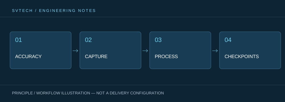
Technical principles and engineering boundaries
The capabilities of an industrial drone are formed jointly by the flight platform, propulsion, perception payload, communications and data workflow. The phenomena covered in "Fast Capture, Still Sharp: Balancing Motion and Exposure in Drone Imagery" often occur at the interfaces between these elements: a platform that flies stably does not mean the data is necessarily deliverable; an algorithm that can recognize a target does not mean the mission can operate without human supervision. Only by placing performance back into the complete mission chain can one distinguish between a one-off demonstration, repeatable verification and long-term operations.
Application scenarios and implementation paths
Drone inspection, 3D modeling, emergency response and asset management are all pushing the low-altitude economy into industrial settings. Different applications require different flight paths, data quality, on-site coordination and compliance preparation. If the target object, deliverable format, operating frequency, site constraints and exception handling are clarified early in a project, it becomes easier to select suitable platforms and payloads for industrial drone applications and to establish a sustainable data collection process.
Project validation and continuous optimization
To ground this technical discussion on "Fast Capture, Still Sharp: Balancing Motion and Exposure in Drone Imagery" in real projects, the validation stage should record the configuration version, environmental conditions, measurement locations and mission results together. Check representative imagery against the mission requirements and retain exposure and attitude information; verify mounting and vibration damping; adjust the capture plan under approved operating conditions, then validate again. This information is not supplementary documentation but the shared basis for interpreting results, reproducing performance and continuously optimizing.
Related support from SV Tech
Zhuhai SV Tech Co. Ltd. (SVTECH) provides product documentation, project requirement discussions and configuration boundary checks for industrial drones and related industry applications. For topics such as "Fast Capture, Still Sharp: Balancing Motion and Exposure in Drone Imagery," mission conditions, target deliverables, site environment and existing equipment can be described together, with Mr. Liu (+86 18688194199, lhc1983@gmail.com) assisting with coordination; specific models, performance and delivery scope are subject to confirmed documentation and project validation.
Troubleshooting can be carried out item by item across exposure time, flight speed, illumination, focus and vibration, while retaining the original imagery and capture parameters. Blur may appear only in a particular direction or during turns, so examining a single photo is not enough. Checking representative frames early in the mission helps avoid discovering the need to refly only after everything is complete.
Capture efficiency should be measured by usable deliverables. Appropriately reducing speed or adjusting capture conditions may actually improve overall mission efficiency if it reduces reflying and post-processing losses.
