
LiDAR acquires distance information directly, while photogrammetry reconstructs geometry from image relationships. Both can produce 3D deliverables, but they depend on different conditions. For complex terrain, vegetation or built environments, the choice should be driven by the intended end use and the characteristics of the data, not by a simplistic judgment of which technology is more advanced.
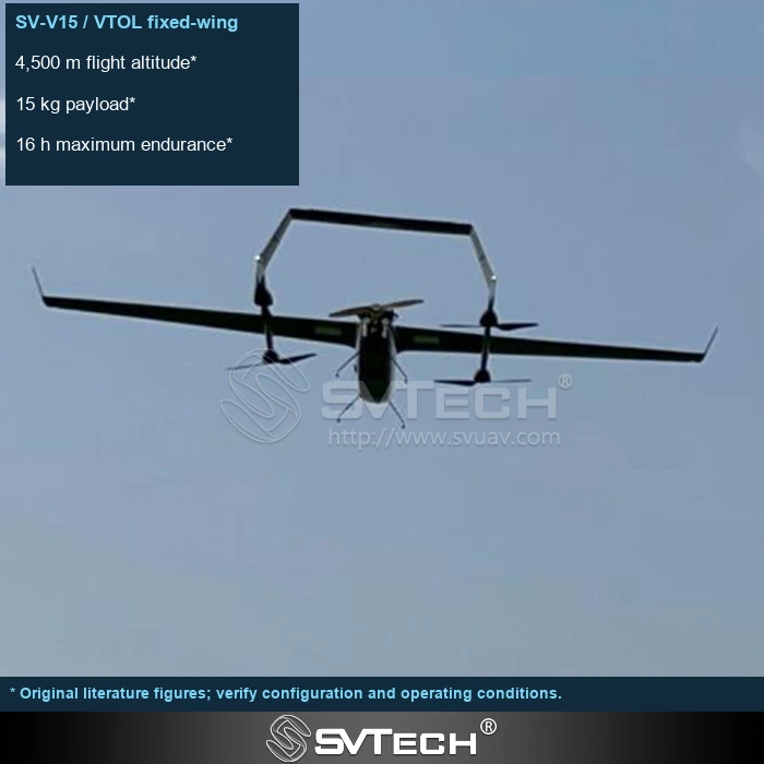
Different sensing methods, different strengths
The two approaches place different demands on texture, occlusion, target surfaces and data processing, and equipment price alone does not indicate which is more suitable. Project accuracy requirements, vegetation, terrain and delivery format should all be considered.
Imagery provides rich texture, while LiDAR point clouds have their own sampling and return-signal characteristics. Illumination, surface texture, target occlusion and processing methods all affect the usable result. Combining the two can be complementary, but it also adds calibration, synchronization and cost. A project should first define what must be measured, then compare what evidence each route can provide.
In areas with insufficient texture, image matching may be limited; LiDAR likewise requires accurate positioning, attitude and calibration. Changing the payload does not automatically eliminate data-quality problems.
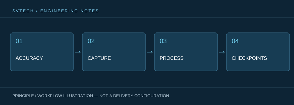
Technical principles and engineering boundaries
The capability of an industrial UAV is shaped jointly by the flight platform, propulsion, perception payload, communications and data workflow. The phenomena addressed in "LiDAR and Photogrammetry: Two Technical Routes for 3D Perception from UAVs" often arise at the interfaces between these elements: a platform that flies steadily does not guarantee deliverable data, and an algorithm that can identify targets does not mean the mission can run without human supervision. Only by placing performance back into the complete mission chain can a demonstration, repeatable verification and long-term operation be distinguished.
Application scenarios and implementation paths
UAV inspection, 3D modeling, emergency response and asset management are all pushing the low-altitude economy into industrial operations. Different applications require different flight paths, data quality, on-site coordination and compliance preparation. If the target objects, deliverable formats, operating frequency, site constraints and exception handling are clearly defined early in a project, it becomes easier to select suitable platforms and payloads for industrial UAV applications and to establish a sustainable data-acquisition process.
Project verification and continuous improvement
To ground this technical discussion of "LiDAR and Photogrammetry: Two Technical Routes for 3D Perception from UAVs" in real projects, the verification phase should record configuration versions, environmental conditions, measurement locations and mission results together. Test representative areas and compare complete deliverables against processing costs; check platform payload and energy limits; and have a professional surveying team confirm the technical route. This information is not supplementary documentation but the shared basis for interpreting results, reproducing performance and continuously improving.
Related support from SV Tech
Zhuhai SV Tech Co. Ltd. provides product documentation, project requirement discussions and configuration boundary checks for industrial UAVs and related industry applications. For topics such as "LiDAR and Photogrammetry: Two Technical Routes for 3D Perception from UAVs," you can describe the mission conditions, target deliverables, site environment and existing equipment together, and Mr. Liu (+86 18688194199, lhc1983@gmail.com) will assist with coordination; specific models, performance and delivery scope are subject to confirmed documentation and project verification.
Deliverable requirements, vegetation occlusion, surface texture and post-processing capability all influence the choice. Comparisons should cover platform compatibility, acquisition efficiency and data-processing cost. A more expensive sensor is not necessarily better for every mission; define the elements that must be obtained first, then check what evidence each option can provide.
Maturity in technology selection is reflected in an understanding of scenario differences. Only by making sensors serve the deliverable can you avoid paying for a complex configuration without gaining the corresponding benefit.

