
Inspection looks for anomalies worth attention, while mapping establishes spatial relationships. Both use imagery, yet they pursue different outcomes. The former may require stopping to examine a single detail; the latter depends more on continuous, organized coverage. Clearly distinguishing mission types makes payload and flight-path design more effective.
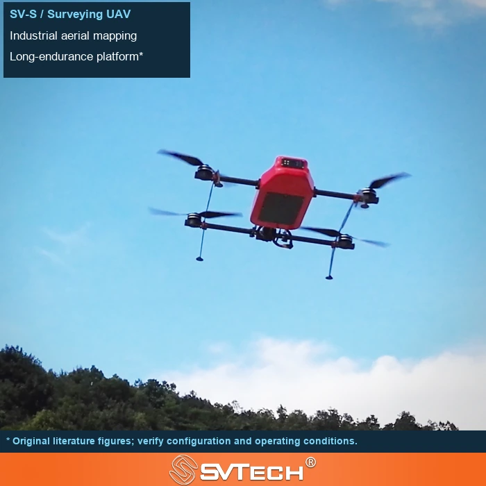
Objectives determine how imagery is captured and used
Mapping emphasizes geometric coverage and measurable outputs, while inspection focuses more on whether specific defects can be identified, located and re-checked. The two may differ in shooting angle, distance, payload and deliverable format.
In facility inspection, viewing angle, target detail and repeatable positioning may matter more than area coverage; in mapping, geometric consistency and complete coverage are usually more critical. If both mission types are undertaken, it should be clear which data can be shared and which must be collected separately. This avoids the situation where a single flight attempts to cover everything and leaves every deliverable insufficient.
A photo intended for orthomosaic stitching may not reveal a facade crack; a close-range video clip may not produce a qualified mapping deliverable. The intended use should be defined first.
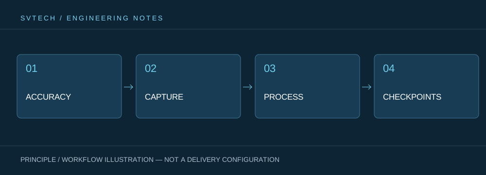
Technical principles and engineering boundaries
The capability of an industrial UAV is shaped jointly by the flight platform, propulsion, perception payload, communications and data workflow. The phenomena discussed in “Both Take Photos: Why Inspection and Mapping Demand Different Mission Approaches” often arise where these links meet: a stable platform does not guarantee deliverable data, and an algorithm that can identify a target does not mean the mission can run without human oversight. Only by placing performance back into the full mission chain can a demonstration, repeatable validation and long-term operation be distinguished.
Application scenarios and implementation pathways
UAV inspection, 3D modeling, emergency response and asset management are all driving the low-altitude economy into industrial settings. Different applications require different flight paths, data quality, on-site coordination and compliance preparation. If the target objects, deliverable formats, operating frequency, site constraints and exception handling are clearly defined early in a project, industrial UAV applications can more readily select suitable platforms and payloads and establish a sustainable data collection process.
Project validation and continuous optimization
To ground this technical discussion of “Both Take Photos: Why Inspection and Mapping Demand Different Mission Approaches” in real projects, the validation phase should record configuration versions, environmental conditions, measurement positions and mission results together. Write target objects, defect dimensions and recording methods into the mission; use different flight paths or payloads where necessary; and validate data against the customer's actual decision process rather than merely comparing photo counts. This information is not supplementary documentation but a shared basis for interpreting results, reproducing performance and continuously optimizing.
Related support from Zhuhai SV Tech Co. Ltd.
Zhuhai SV Tech Co. Ltd. (SVTECH) provides product documentation, project requirement discussions and configuration boundary checks for industrial UAVs and related industry applications. For topics such as “Both Take Photos: Why Inspection and Mapping Demand Different Mission Approaches,” mission conditions, target deliverables, site environment and existing equipment can be described together, with Mr. Liu (+86 18688194199, lhc1983@gmail.com) assisting with coordination; specific models, performance and delivery scope are subject to confirmed documentation and project validation.
Inspection focuses on specific defects or conditions and requires a suitable viewing angle and identification capability; mapping focuses more on spatial coverage and geometric quality. The two can share some equipment, but mission parameters and acceptance criteria should be kept separate. Do not assume that a camera able to photograph a facility can directly meet all inspection and measurement requirements.
Clearly defining a mission does not restrict its application; rather, it creates the basis for combined services. Only by understanding different data requirements can flight and post-processing resources be arranged sensibly.
