
Sharper-looking photos do not necessarily mean more accurate map positions. Ground resolution describes how small a feature the imagery can depict, while the accuracy of the result is also affected by positioning, camera, geometric structure and processing workflow. Distinguishing the two is an important starting point for understanding drone mapping quality.
Clarity and geometric reliability must be established together
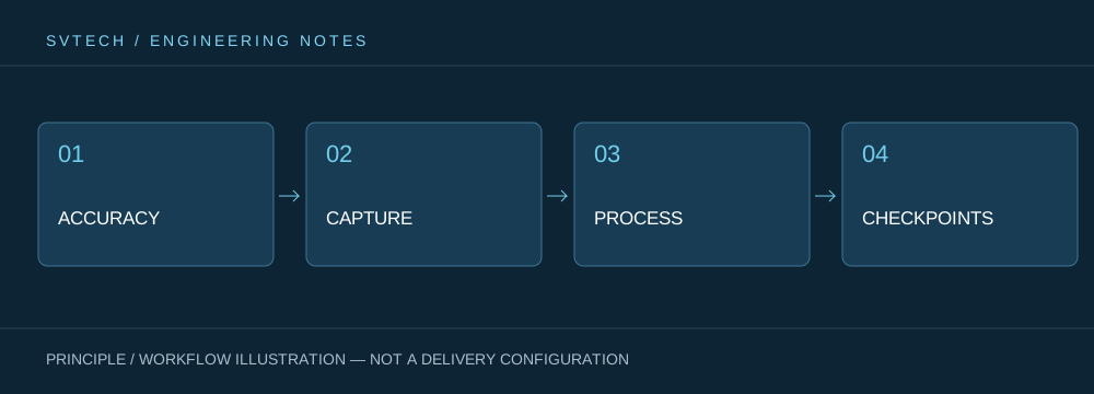
Ground sample distance describes the ground size corresponding to a pixel, while positioning and result accuracy are also affected by lens, attitude, control points and processing. High resolution can provide more detail, but it cannot automatically eliminate systematic error.
Lowering flight altitude can change the ground pixel size, but it also increases the number of images and mission time. If positioning and control conditions are not improved at the same time, more photos may not solve positional deviation. A project should determine resolution around the objects the customer needs to measure, and then evaluate result accuracy through independent methods, so that acquisition investment matches the actual purpose.
If imagery is clear but control point quality is poor, positional deviation may still appear in the resulting map. On the other hand, excessive pursuit of low GSD may increase workload without real benefit.
Technical Principles and Engineering Boundaries
The capability of an industrial drone is formed jointly by the flight platform, power, perception payload, communication and data workflow. The phenomena involved in "From Clear Imagery to Trustworthy Maps: Resolution and Accuracy in Drone Mapping" often occur at the interfaces of these links: a platform flying stably does not mean the data is necessarily deliverable; an algorithm being able to recognize a target does not mean the mission can operate without human supervision. Putting performance back into the complete mission chain is what allows distinguishing between a demonstration, repeatable verification and long-term operation.
Application Scenarios and Implementation Paths
Drone inspection, 3D modeling, emergency response and asset management are all driving the low-altitude economy into industrial settings. Different applications require different flight paths, data quality, on-site coordination and compliance preparation. If the target object, deliverable format, operating frequency, site constraints and exception handling can be clearly defined early in a project, industrial drone applications can more easily select suitable platforms and payloads and establish a sustainable data collection workflow.
Project Validation and Continuous Optimization
To make this technical discussion on "From Clear Imagery to Trustworthy Maps: Resolution and Accuracy in Drone Mapping" applicable to real projects, the verification stage should record configuration version, environmental conditions, measurement locations and mission results together. First define the purpose of the result and the accuracy requirements, then select acquisition conditions; evaluate results with independent checkpoints; report resolution and accuracy separately, without mixing them. This information is not supplementary documentation, but a shared basis for explaining results, reproducing performance and continuous optimization.
Related Support from SVTECH
SVTECH provides product documentation, project requirement communication and configuration boundary verification for industrial drones and related industry applications. For topics such as "From Clear Imagery to Trustworthy Maps: Resolution and Accuracy in Drone Mapping", mission conditions, target results, site environment and existing equipment can be described together, with Mr. Liu (+86 18688194199, lhc1983@gmail.com) assisting with coordination; specific models, performance and delivery scope are subject to confirmed documentation and project verification.
Ground resolution describes the ground scale corresponding to a pixel, while result accuracy also involves positioning, lens, control points and processing workflow. Acceptance should set independent checks according to actual result requirements. Finer pixels may increase data volume and schedule, so selection should make a clear trade-off among quality, coverage efficiency and cost.
Good aerial survey results are both clearly seen and accurately measured. Designing acquisition and verification around the purpose improves data value more than simply pursuing higher pixels.

