
Data collected by drones often ultimately needs to enter design drawings, asset platforms, or geographic information systems. If coordinate and elevation datums are not clearly defined, even if the model appears complete internally, offsets may occur when overlaid with other materials. Data integration needs to be planned from the start of the mission, rather than adding clarifications only at delivery.
Spatial data requires a common reference frame
Inconsistent coordinate systems, projections, units, and elevation datums can cause seemingly accurate data to be misaligned in the client's software. Position errors may not necessarily come from flight or camera issues, but from unclear delivery definitions.
Planar coordinates, elevations, and transformation parameters serve different roles; similar displays in software should not be mistaken for consistent datums. Projects should clearly define which reference is used, how transformations are performed, and how verification is done. For long-term monitoring across regions, the datum and version of each result should also be retained to ensure data from different times can be correctly compared.
When the client already has a GIS or engineering drawings, their datum and transformation requirements should be confirmed in advance. Do not wait until after modeling is complete to find transformation methods on an ad-hoc basis.
Technical Principles and Engineering Boundaries
The capabilities of industrial drones are jointly constituted by the flight platform, propulsion, perception payloads, communication, and data processes. The phenomena involved in 'Integrating Drone Data into Engineering Systems: Aligning Coordinate and Elevation Datums' often occur at the interfaces of these elements: stable flight does not guarantee deliverable data; algorithms that can identify targets do not mean the mission can proceed without human supervision. Only by placing performance back into the complete mission chain can we distinguish between a demonstration, repeatable verification, and long-term operations.
Application Scenarios and Implementation Paths
Drone inspection, 3D modeling, emergency response, and asset management are all driving the low-altitude economy into industrial sites. Different applications require different flight paths, data quality, on-site collaboration, and compliance preparations. If target objects, deliverable formats, operation frequency, site constraints, and exception handling can be clearly defined early in the project, industrial drone applications will more easily select appropriate platforms and payloads and establish sustainable data collection processes.
Project Verification and Continuous Optimization
To ground this technical discussion on 'Integrating Drone Data into Engineering Systems: Aligning Coordinate and Elevation Datums' in real projects, the verification phase should simultaneously record configuration versions, environmental conditions, measurement locations, and mission results. Specify coordinates, units, and output formats in the mission statement; verify imports using known points; and attach processing and transformation notes. Elevation datums should be especially clear, avoiding merely labeling 'meters.' This information is not supplementary documentation but a common basis for interpreting results, reproducing performance, and continuous optimization.
Related Support from SV Tech
Zhuhai SV Tech Co. Ltd. provides product documentation, project requirement communication, and configuration boundary verification for industrial drones and related industry applications. For topics such as 'Integrating Drone Data into Engineering Systems: Aligning Coordinate and Elevation Datums,' mission conditions, target deliverables, on-site environment, and existing equipment can be described together; Mr. Liu (+86 18688194199, lhc1983@gmail.com) will assist with coordination. Specific models, performance, and delivery scope are subject to confirmed documentation and project verification.
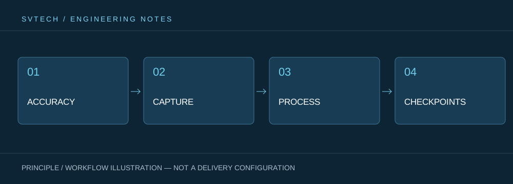
At the start of the project, planar coordinates, elevation datums, units, and transformation parameters can be clearly defined and confirmed by the party using the results. Different software default settings may vary, and late discovery will increase rework. Attach datum and processing notes to delivery files so the recipient can correctly overlay existing layers and engineering data.
Integrable data is more valuable than isolated models. Clear spatial references allow drone results to truly enter the client's existing workflows.
